Traditionally, for large-scale topographic surveys such as those required for large infrastructural projects, teams of surveyors would have been required to meticulously inspect and measure the site manually. Manual ‘boots-on-the-ground’ survey has its advantages of course, but comes with huge costs related to time and labour. Additionally, traditional methods also came with the added delays and risks associated with working for long periods outdoors in difficult terrain, such as weather, site hazards, fatigue, etc. With mobile mapping, these on-site costs and the associated delays and risks can be dramatically cut.
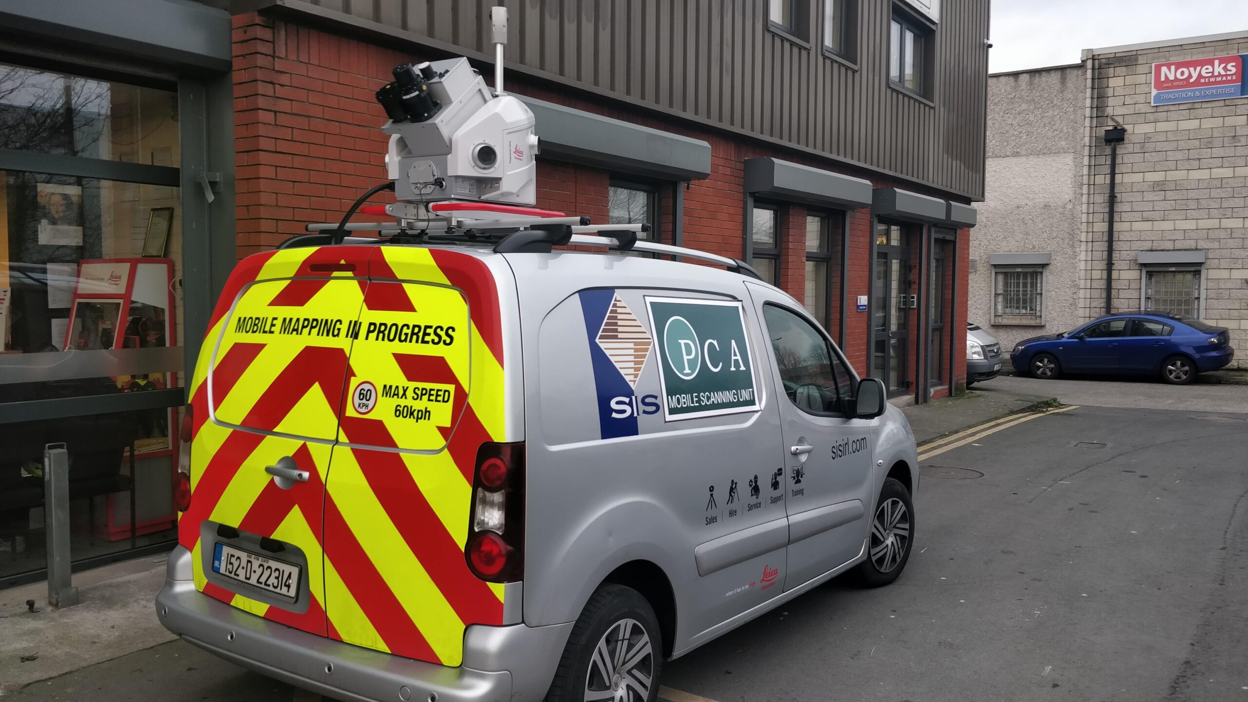
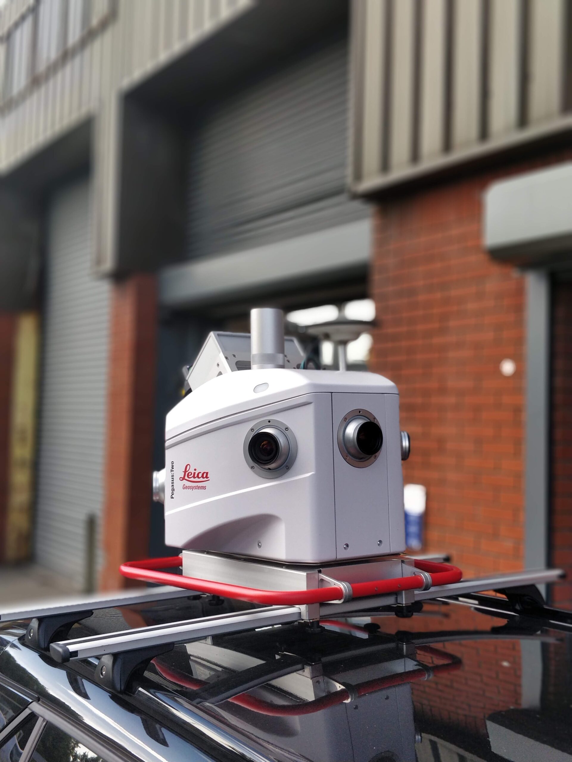
Mobile mapping is the term generally applied to methods of direct measurement from a moving platform. Most often, this takes the form of a laser scanner and/or camera mounted on a vehicle such as a car/van. With mobile mapping, instead of having teams of personnel onsite for periods of weeks, data collection can be carried out in a matter of hours or days. The data can then be sent back to the office to be processed and drawn-up.
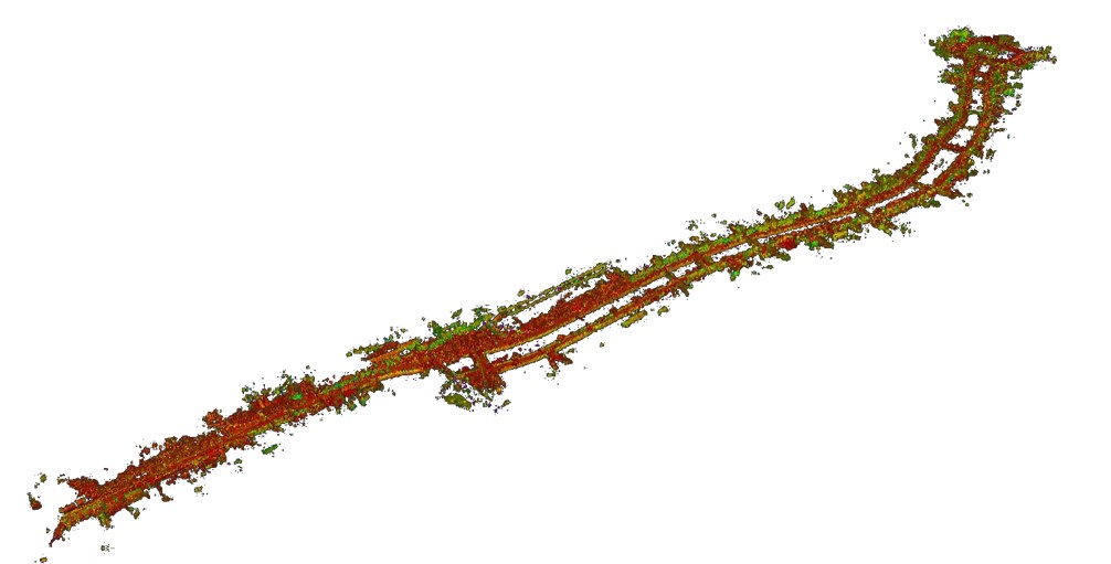
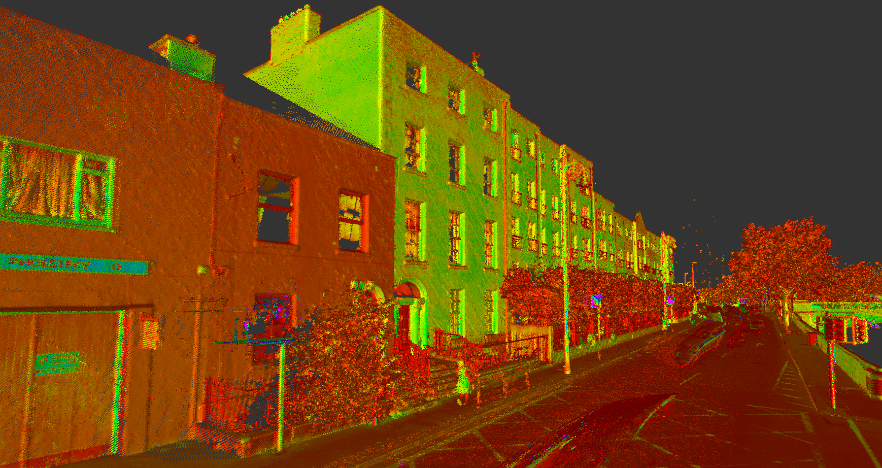
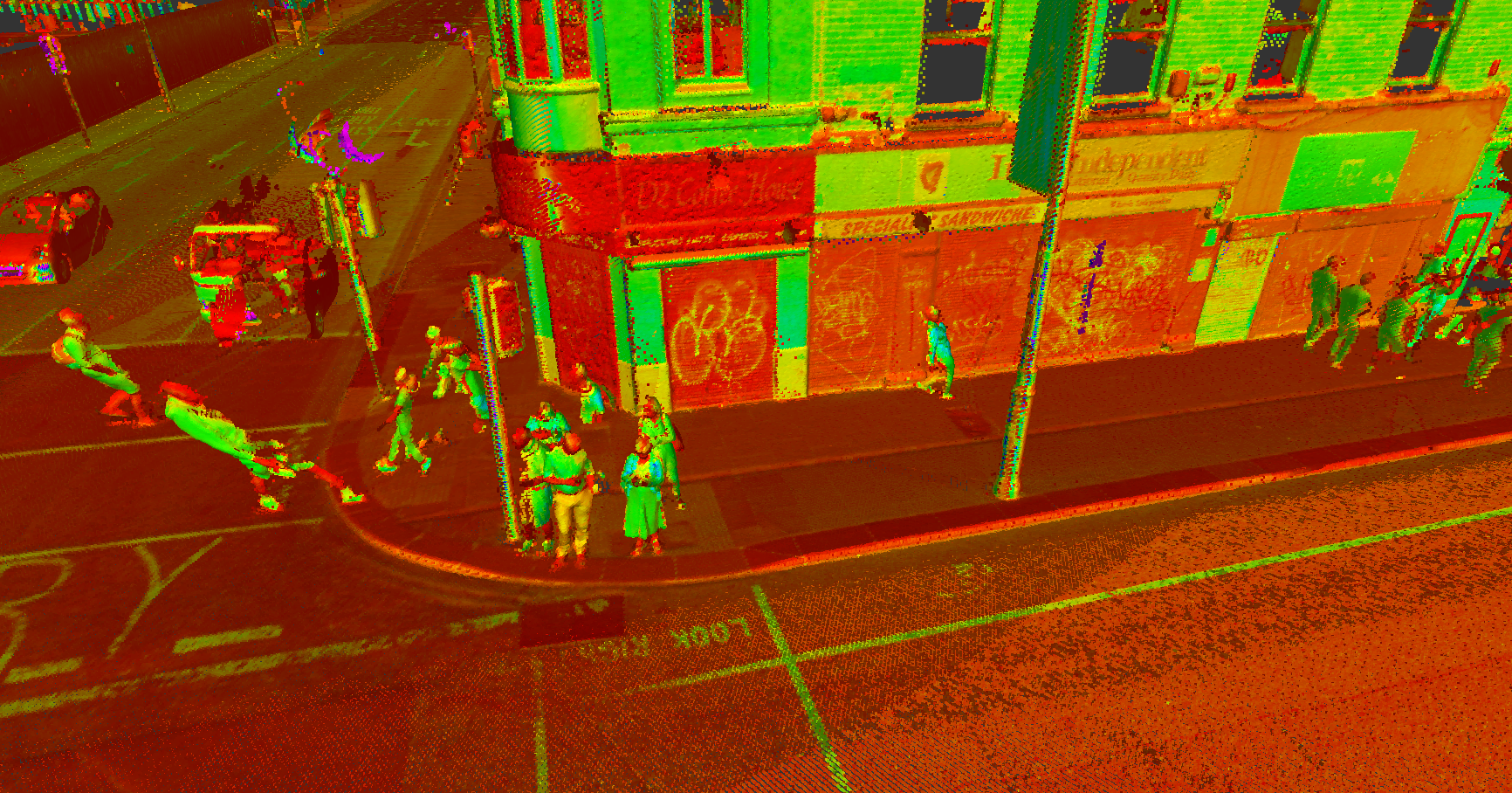
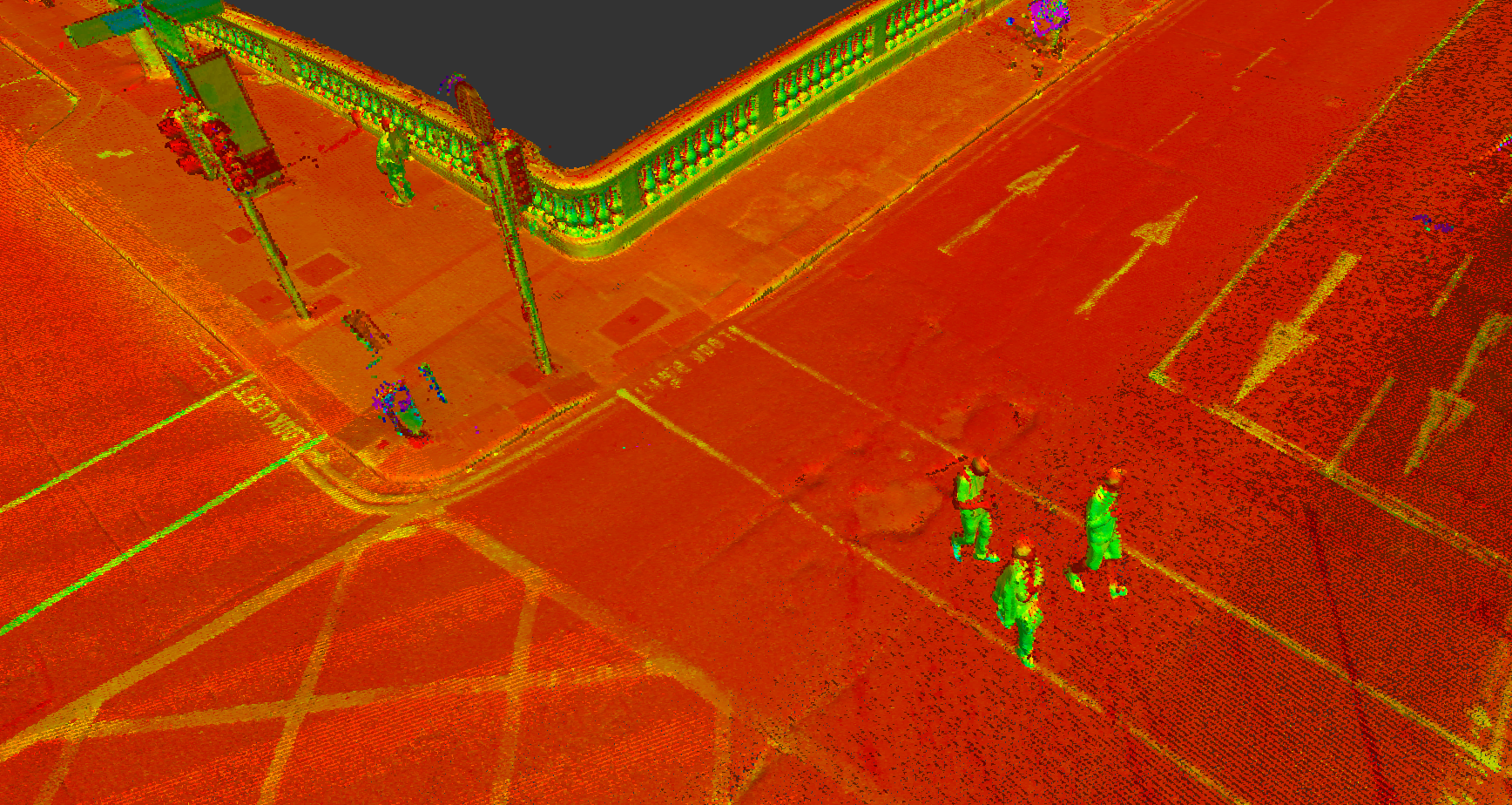
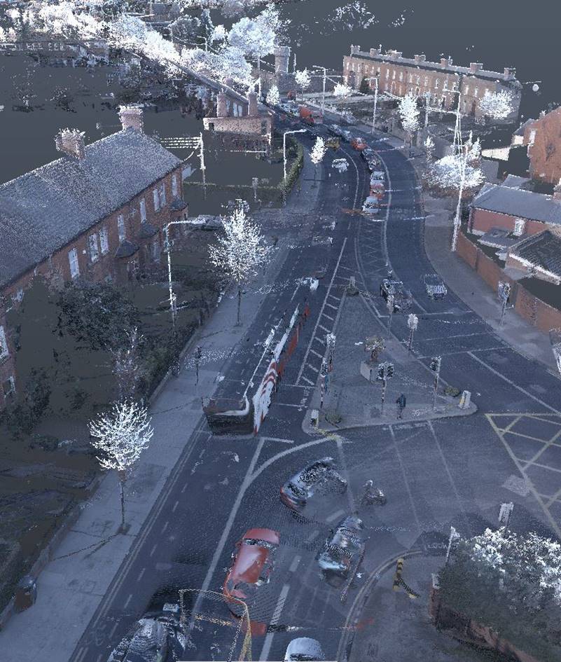
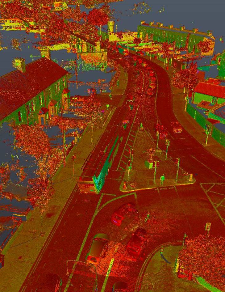
Mobile mapping systems can capture laser scan data, photographic data, and even ground-penetrating radar data from the same moving platform. All the data collected can be coordinated together thanks to the use of on-board GNSS (Global Navigation Satellite Systems) & IMU (Inertial Measurement Unit) systems, creating a rich database of information and an invaluable site record. Cloud-based solutions also allow end-users to have quick access to the data without the need for downloading of bulky datasets.