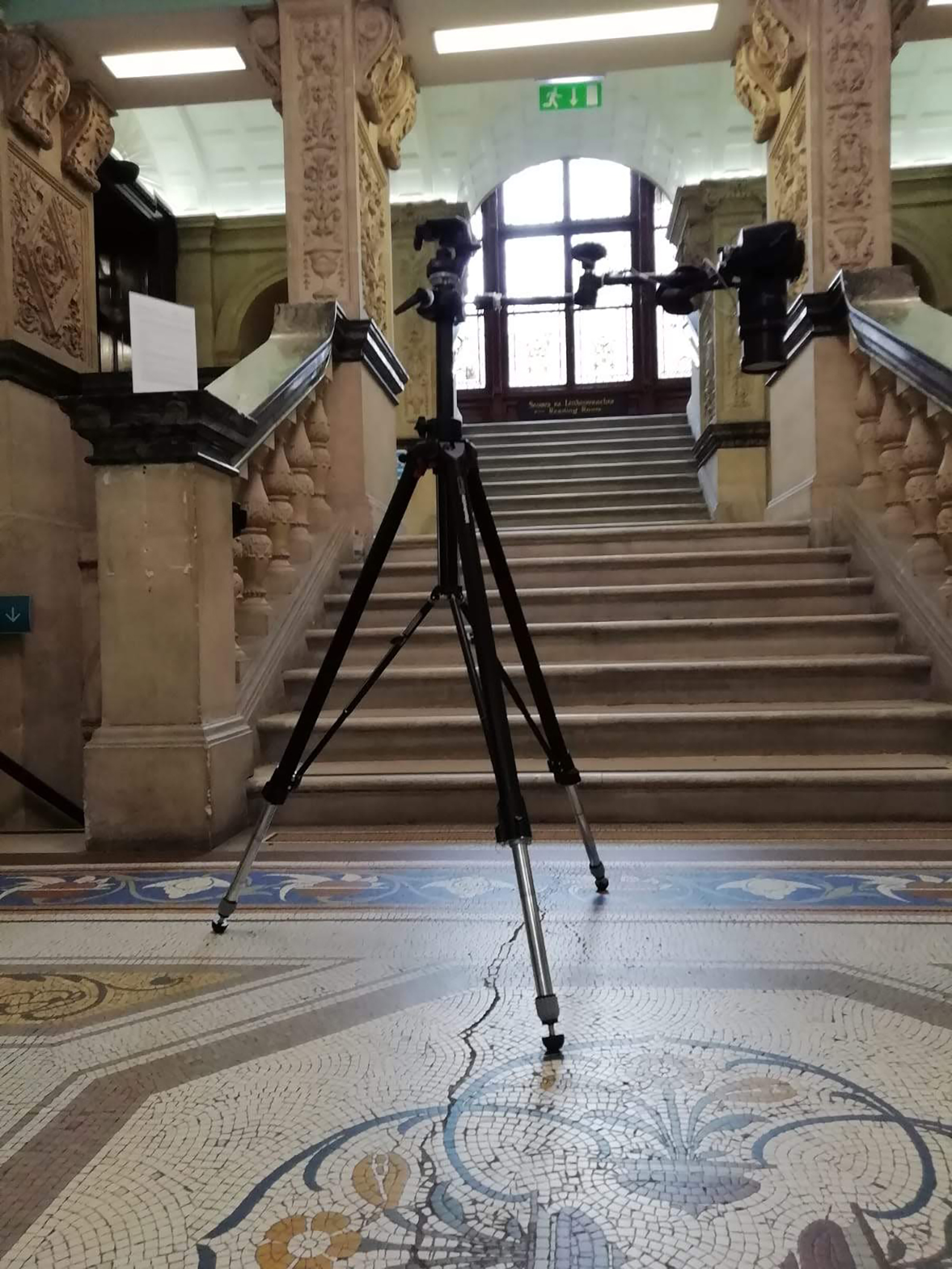
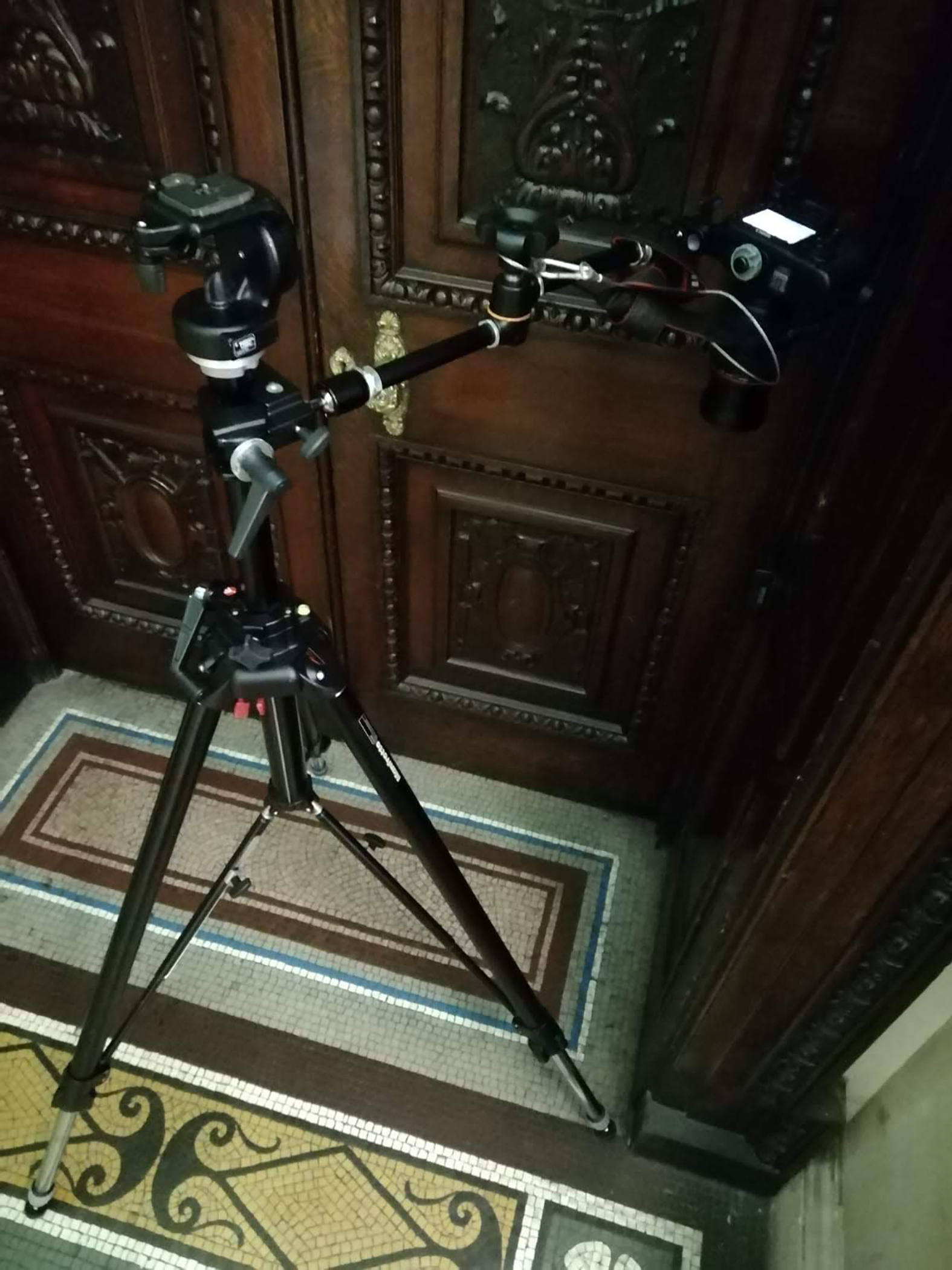
This is the term applied to the extraction of 3D information from photographic data. This can be done in a variety of ways, but most often in surveying involves the capture of large numbers of separate photographs of a subject/site, and combining these images using specialist software to construct a 3D space from detail contained within the images. Images can be captured either from ground-based cameras or from aerial platforms such as drones.
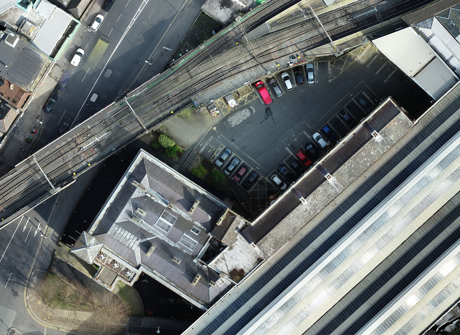
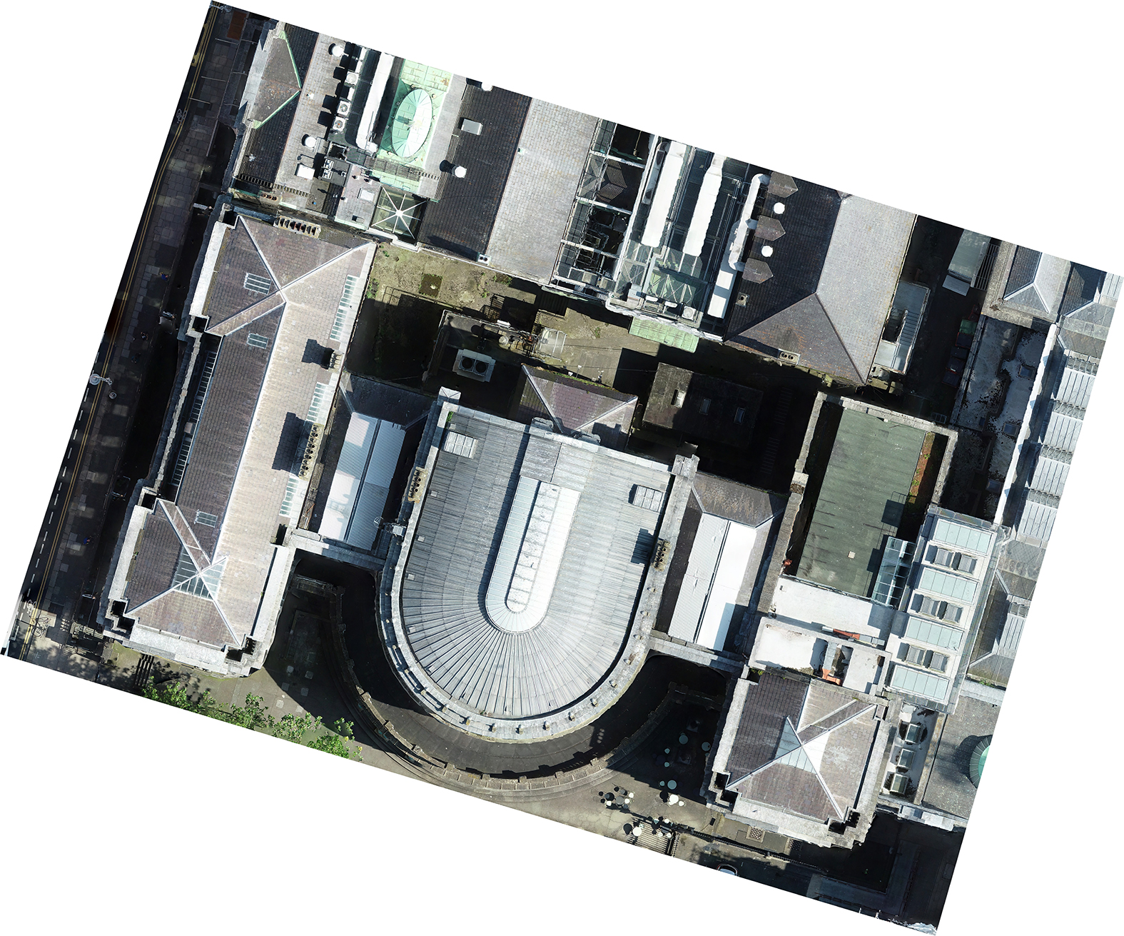
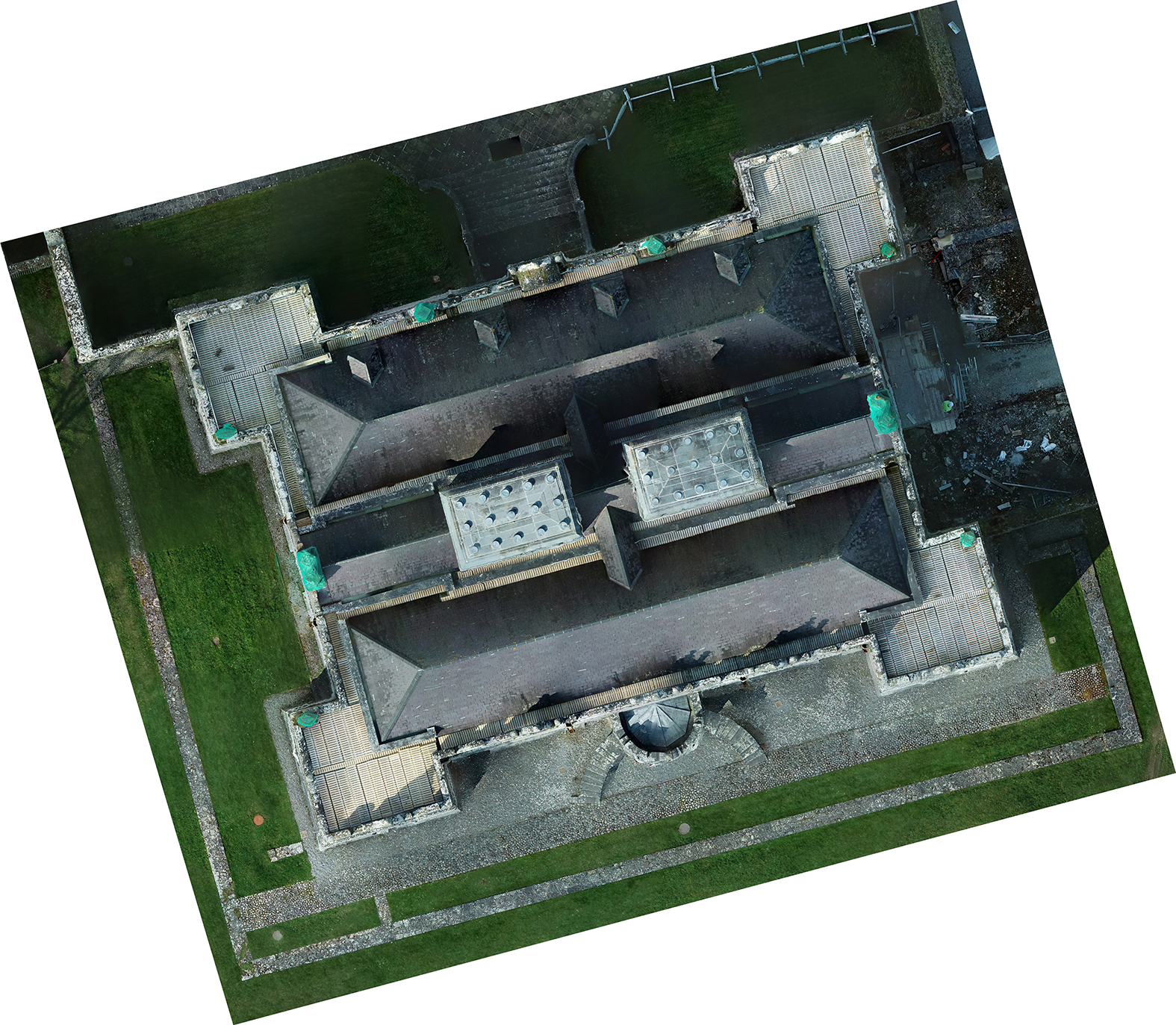
For topographic surveys, the use of drone-based photogrammetry can enable the measurement, mapping & modelling of large areas very quickly, with the added richness provided by full-colour detail from individual images. From hundreds or thousands of photographs, a full site 3D model can be generated. In addition, these images can be combined to produce a single orthophotograph covering the entire site. Both products can be accurately measured from and coordinated to any given mapping grid.
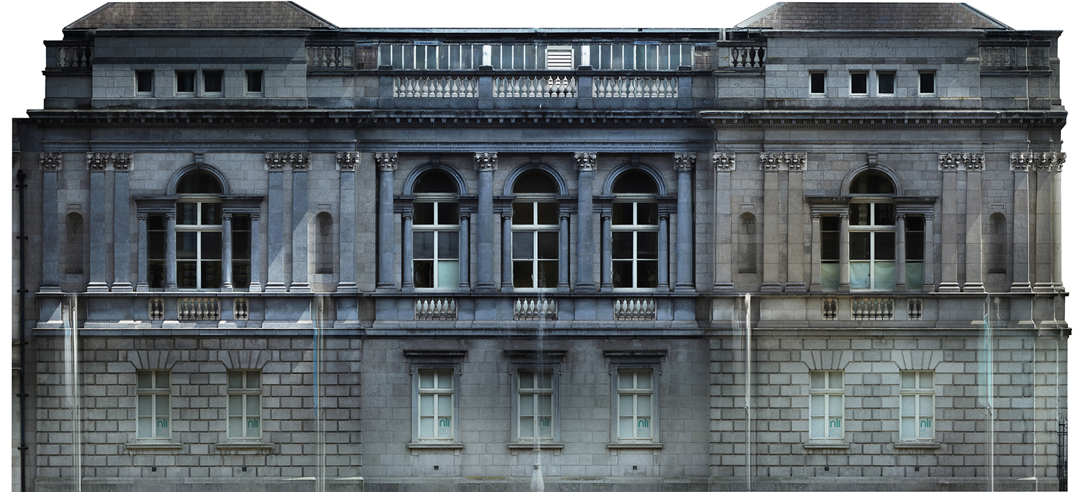
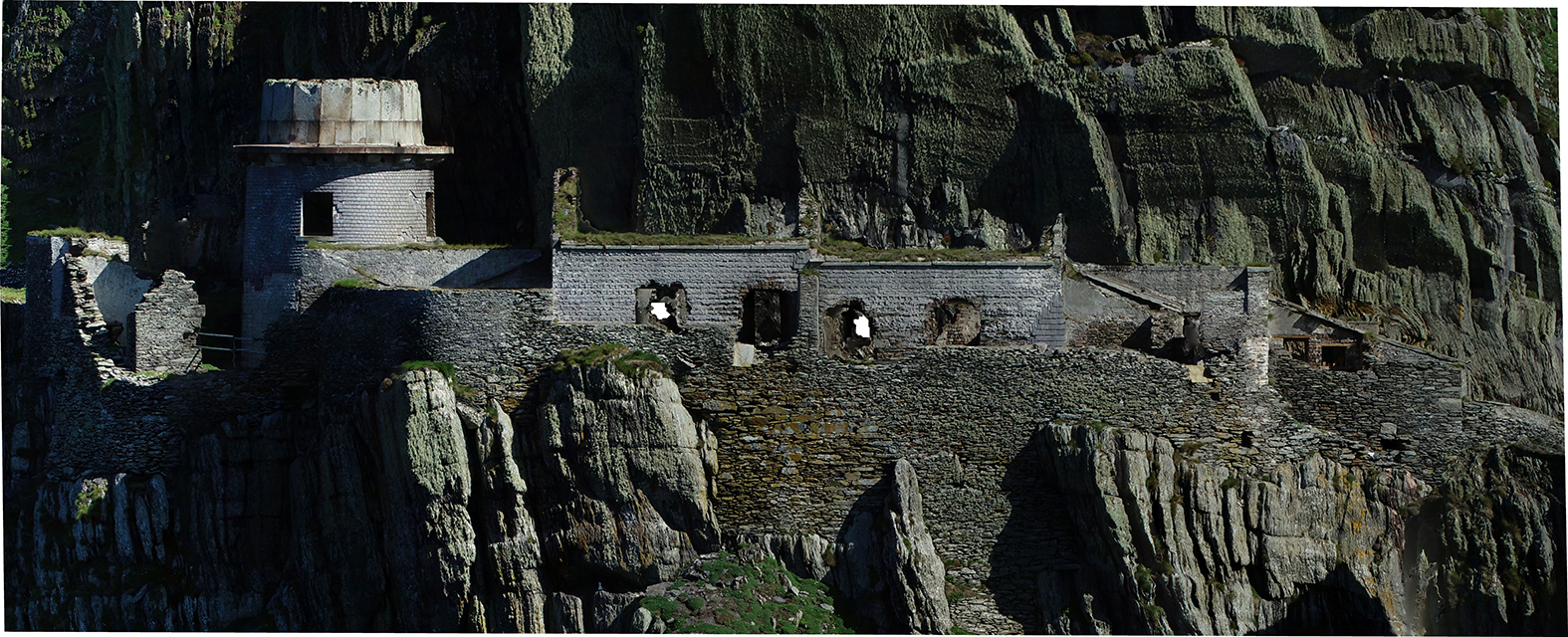
For building surveys, photogrammetry can enable the generation of accurate and richly-textured 3D models of architectural detail. It can also be used to generate ‘orthofacades’, whereby images are combined to create accurate and scaled images of specific facades of a building. This can be particularly useful for recording decorative detail, such as mosaic flooring or historic frescoes on walls, as high-resolution photography can record valuable textural detail to sub-millimetre levels. Orthofacades combine the best attributes of accurate elevation measurement and detailed photographic record.