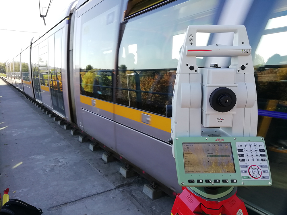
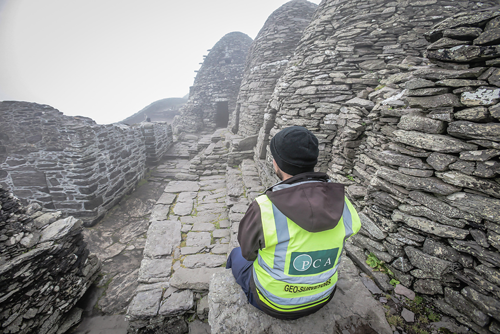
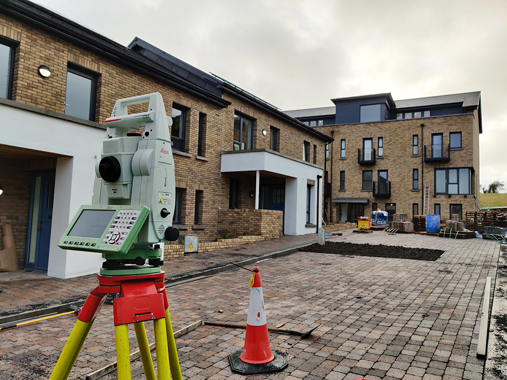
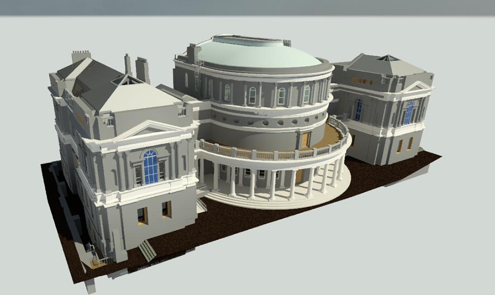
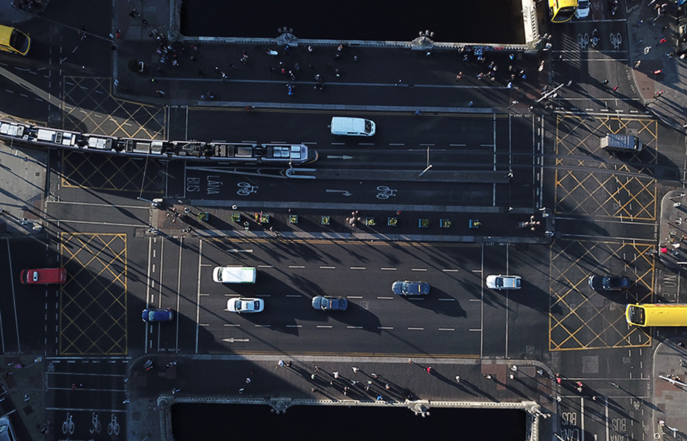
Paul Corrigan & Associates Ltd. Geo-Surveyors Our services INFRASTRUCTURE Metro Luas . Airport . Bus Corridors . Cycle Routes . Motorways . Railways . Traffic Calming . Bridges . Waterways HERITAGE Conservation . Archeological Sites . Historic Buildings & Protected Structures . Historic Architectural Details PROPERTY & LEGAL Development . Subdivision . Registration (PRAI) . Lease Area Calculation . Mediation . Arbitration . Boundary Dispute Resolution environmental Greenways . Flood Risk . Costal Erosion & Protection . Forestry . Parks . Golf Courses . Tourist / Walking Trail modelling Scan-to-BIM . 3D CAD . TIN . mesh and contour modelling . digital surface and orthofacade modelling DRONE SERVICE Aerial Photographic/ Video Survey . Orthophotography . Photogrammetry . Flythroughs . Building inspections: Roof/Gutters Inspection MOBILE MAPPING Topographic survey – Roads (Pavement condition survey) – Rails – Waterways – Coastal – Streetscapes – Elevation – Mapping Biomass – Accessibility Survey – Asset Management TERRESTRIAL & PHOTOGRAMMETRY Architectural photography – Recording Historic Building – Conservation – Building Condition Survey – Internal & External Elevation – Orthomosaic – Photogrammetry – Rectified Photography ARCHEOLOGICAL & GIS Mapping for Excavation Survey – 3D Site Record – Landscapes – Spatial Data Base Management – Archeological Prospection – Environmental Impact Assessment Projects gallery