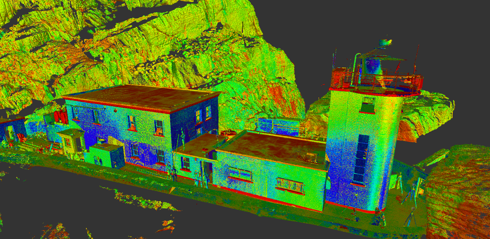
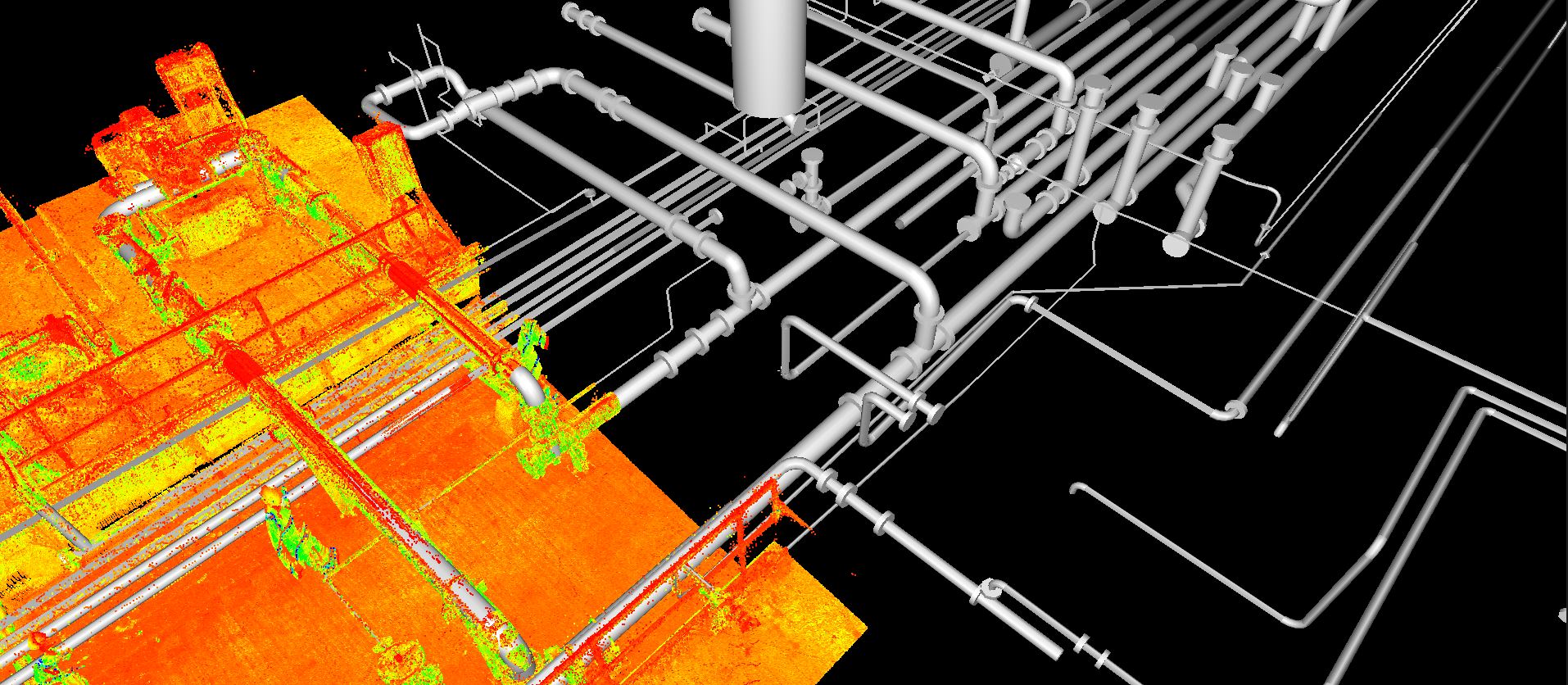
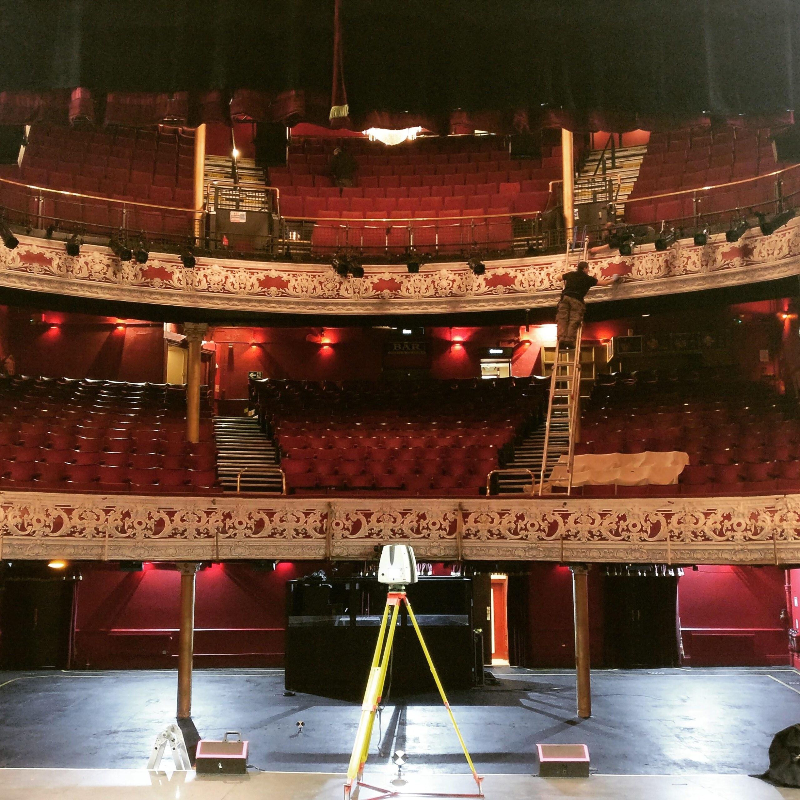
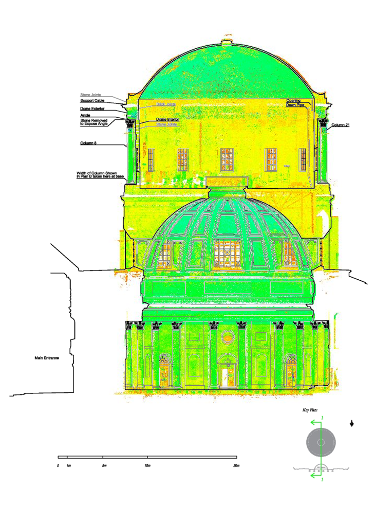
In land and building surveying today, laser scanning is often the primary data collection technique. Modern terrestrial laser scanners come in a range of sizes and models to suit many different projects. From handheld laser scanners like the Leica BLK2GO that allow for rapid data collection at low cost to stationary models such as the Leica RTC360 that capture a vastly increased amount of data and detail, we at PCA have expertise across multiple platforms and with multiple technologies, allowing us to choose the right tool for the right job !
Terrestrial laser scanners measure millions of individual points in each scan. From these ‘clouds’ of millions of points, we can create three-dimensional models of any given surface, and extract a wealth of textural and material details. From this dataset, we can create the products that our clients require, such as survey drawings in CAD, rendered 3D models, volume analyses, virtual walkthroughs, etc. Laser scanning enables us to produce these products with the confidence of millimetre and accuracy.