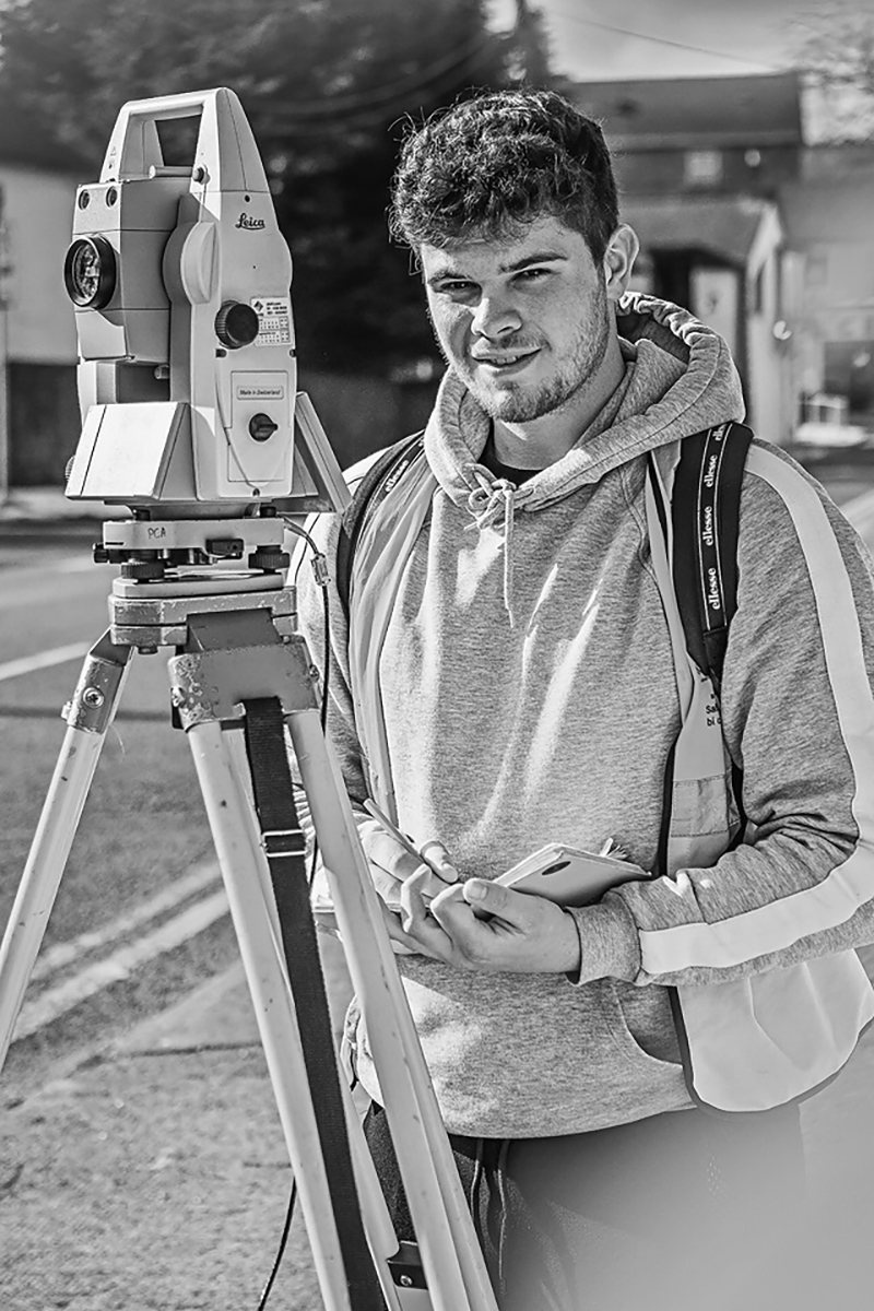
Paul Corrigan & Associates (PCA) Ltd. Geo-Surveyors is a multidisciplinary practice with 40 years’ experiences in all aspects of land and measured building survey. We pride ourselves on providing tailored survey solutions to all our clients, with an emphasis on continuous product support and detailed advice.
As one of Ireland’s leading Geo-Survey Consultancies, we aim at all times to achieve the highest standards in survey practice and customer service, embracing the very latest in survey technologies and methods.
Why not have a look at some of our work by visiting us on social media, or by dropping by our YouTube channel. You can find the links to all at the bottom of the page.
About us
Paul Corrigan & Associates (PCA) Ltd. Geo-Surveyors is a multidisciplinary practice with 40 years experiences in all aspects of land and measured building survey. We pride ourselves on providing tailored survey solutions to all our clients, with an emphasis on continuous product support and detailed advice.
As one of Ireland’s leading Geo-Survey Consultancies, we aim at all times to achieve the highest standards in survey practice and customer service, embracing the very latest in survey technologies and methods.
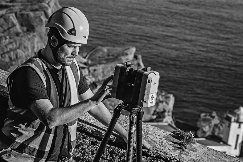
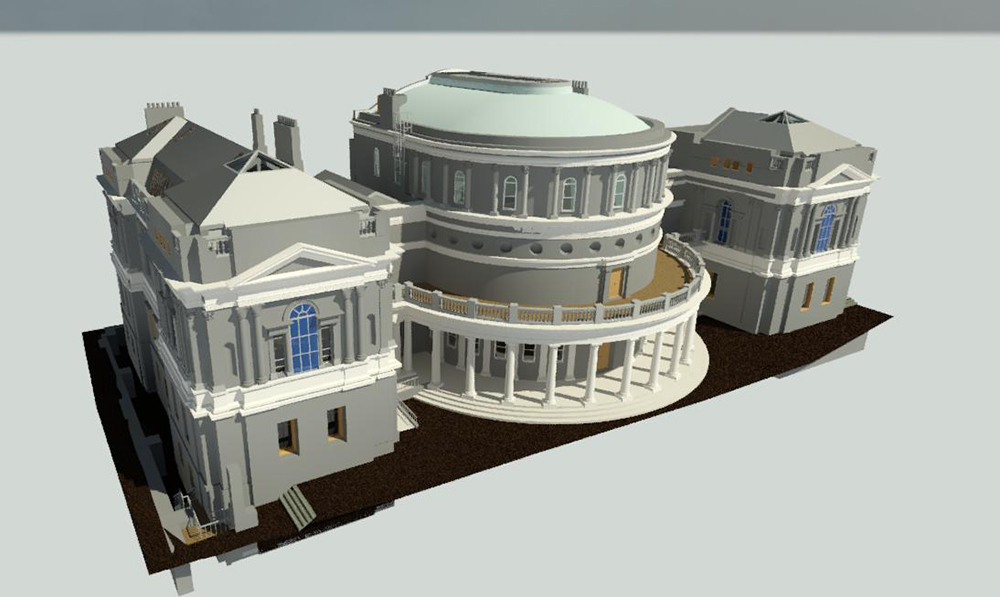
Our team comprises a diverse range of skills and experience working in many different countries around the world, and with expertise in land survey, laser-scanning, drone orthophotography, Scan-to-BIM modelling, legal mapping and arbitration, geospatial analysis, architectural, archeological and cultural heritage.
We have been involved with some of the largest civil engineering projects in Ireland, working with both state agencies, county councils, private engineering and property development consultancies. In addition to these large-scale projects, a considerable portion of our business remains with smaller enterprises with whom, we continue to provide unrivalled service provision and support across all scales of activity.
Our survey services include, but are not restricted to :
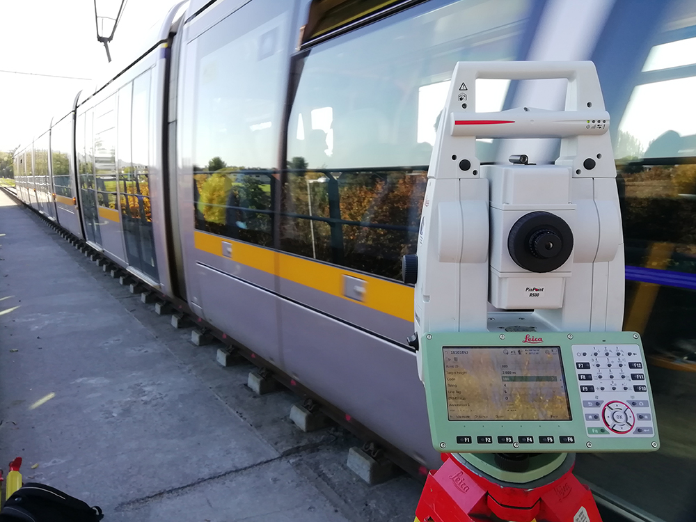
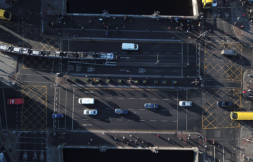
Infrastructural surveys: including cycle lanes, bus corridors, bridges, waterways, motorways and railways & train stations.
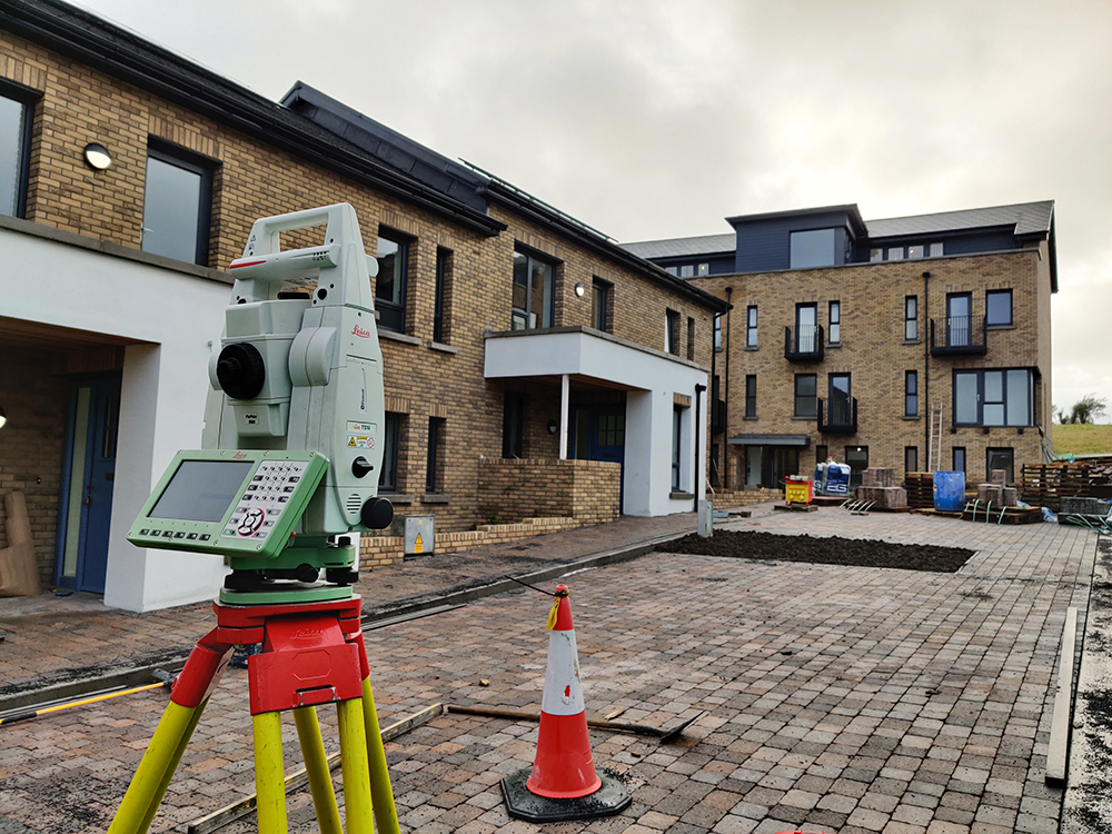
Property surveys: including boundary surveys, first registration (PRAI) & full building surveys.
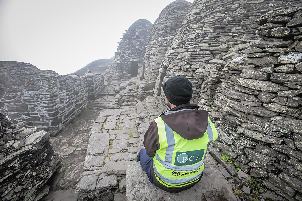
Cultural heritage surveys: including heritage buildings & protected structures, archaeological sites & historic architectural detail recording.
Environmental surveys: including parks, woodland & greenways.
Drone aerial survey: including video surveys, orthophotography and photogrammetry.
3D modelling: including Scan-to-BIM, 3D CAD, TIN, mesh and contour modelling, digital surface and orthofacade modelling.