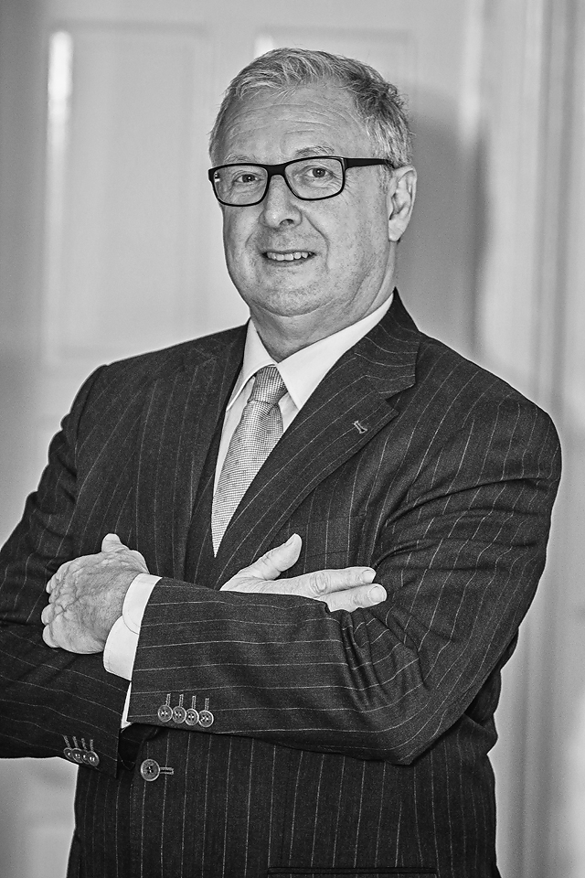
Paul Corrigan
FSCSI, FRICS, FCIArb – Company Director.
Having qualified as a Geo-surveyor in Bolton Street DIT early 1980’s, Paul worked as a surveyor mainly with Consulting Engineers such as J.B. Barry and Ove Arup. In 1990 he graduated from the Marketing Institute of Ireland. In 1993 he was elected Fellow of the Irish Institution of Surveyors. Paul is a past President of the Irish Institute of Surveyors. Having completed a post graduate degree in Arbitration in UCD in 2005, Paul was elected a Fellow of the Chartered Institute of Arbitrators (FCIArb) in 2009. During this time, Paul was also the Irish delegate to the pan European institution of surveyors CLGE (Committee Liaison de Geomètres European) and to FIG (Federation Internationale de Géomètres). Paul was a member of the inter-professional task force on property boundaries in Ireland and has co-authored following three publications: “Best Practice Guidelines for Precise Surveying in Ireland” (2004), the “Green paper on the Reform of Boundary surveys in Ireland” (2008) and “Inter professional task force on Property Boundaries” (2014). Paul currently sits on the Geomatics Group, the Conservation Group and the UAS Group of the SCSI.

Anna
MSc. Geodesy VSB – TU Ostrava Czech Republic.
Anna studied Geodesy & Cartography at VSB – TU Ostrava (Czechia), graduating in 2001. She joined the PCA team in 2004 as topographic & buildings surveyor, later becoming office manager. In her time with PCA, Anna has overseen some of PCA’s largest projects, and has personally worked on a number of high-profile developments, such as the Custom House, The Spencer Hotel, and even some celebrity residential projects. While transitioning into a lead management role at PCA, Anna has also achieved a number of qualifications in HR development, management and accounting, and manages company CPD. Anna is the first point of contact for PCA’s customers.
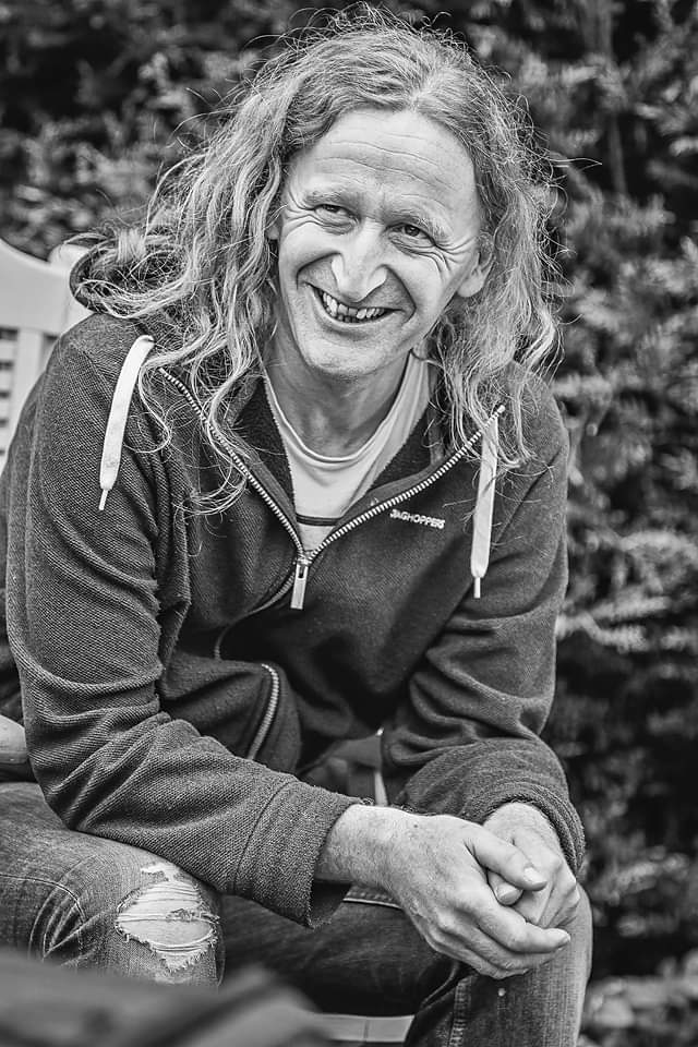
Patrick
Geomatics, TU Dublin.
Pat studied Geomatics at DIT (Bolton St.), graduating in 1994 and joined the PCA team in 1995. He has 25+ years’ experience in legal mapping and geomatics, and is PCA’s specialist on all surveys for legal matters, property registration, boundary clarification and area calculations for commercial records. Pat works with a range of client groups, including solicitors and other members of the legal profession, public agencies and land management bodies, down to private homeowners. Due to his many years’ experience, Pat has become the first port of call for many of our clients for advice on the best survey solutions for their projects.
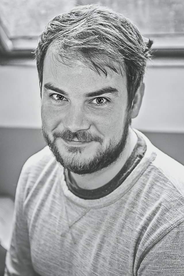
Lorcan
MSc. In Geospatial Engineering, TU Dublin; –MA in Archaeology, UCD.
Lorcan has a background in cultural heritage, having worked on geophysical survey projects with UCD and The Discovery Programme. He joined PCA as a surveyor, having completed a second Masters in geospatial engineering, and now leads our Laser Scanning and Heritage & Conservation Survey Teams. Lorcan has been in charge of some of PCA’s landmark projects, including surveys of the National Library of Ireland, Skellig Michael and Trinity College Campanile.

Mick
PhD. in Geospatial and Environmental Archaeology, UCD.
Mick has 16+ years’ experience in the Cultural Heritage sector in both data acquisition, management and geospatial analysis. He holds a PhD. from UCD in historic land use and land cover modelling. Mick joined the PCA team as surveyor and Project Coordinator, and manages large-scale topographic, LiDAR and utilities survey projects. He has successfully managed a range of large-scale infrastructural survey projects, including the BusConnects, Liffey Quays Cycle Route, N24 Cahir to Limerick Junction and N4 Carrick to Dromod survey projects.
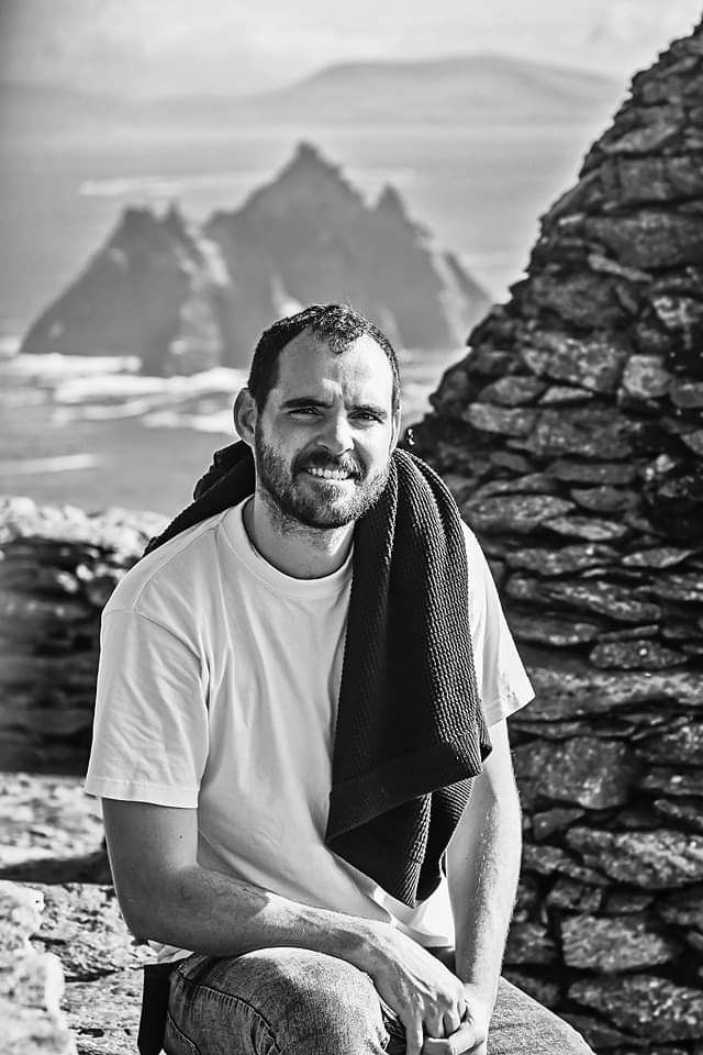
Mark
BSc. In Construction Management, Diploma in Digital Media Production.
Having gained significant survey experience in UK and Australia, Mark joined PCA in 2017 and led the Topographic and Transportation Section. Mark is a highly experienced field surveyor with experience, while at PCA, on some of the largest infrastructural projects carried out in Ireland in recent years, such as the Phoenix Park Tunnel, BusConnects, DART+ & Metro Green Line. Mark specialises in the establishment of control networks on-site, and has spearheaded a number of programmes in PCA aimed at increasing survey efficiency and developing new methodologies.
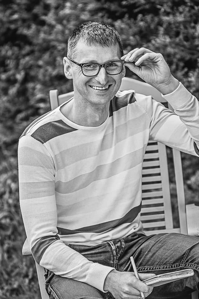
Vytautas
Vytautas Magnus University Agriculture Academy (Lithuania).
Vytautas joined PCA as a technician land surveyor in 2004. With more than 16 years’ experience, Vytautas has progressed to managing his own projects in Topographical Survey, SCC and Point Cloud Processing. Vytautas also manages PCA’s survey Quality Assurance programmes, and is delivers regular training programmes to new staff members. As one of PCA’s longest-serving team members, Vytautas is a key adviser to pricing and survey teams on appropriate survey methodologies and associated accuracies.
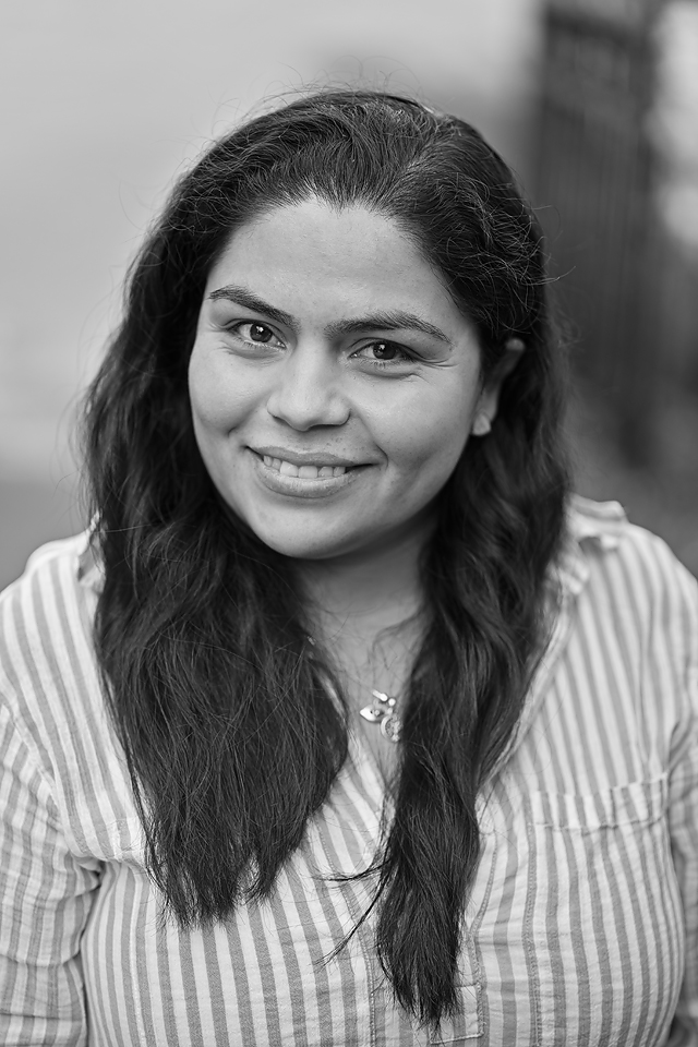
Laura
BEng (Hons) in Surveyor Engineering, Universidad Tecnologica de Chile; BEng (Hons) In Project Management, DBS.
Laura is a Surveyor, Engineer and Project manager, she holds a BEng (Hons) in Surveying Engineering from Universidad Tecnologica de Chile (2015), and also has a BEng (Hons) in Project Management from Dublin Business School (2024). She has over of 5 years of experience in topographic surveys, cadastre, measured building survey and civil infrastructure. Laura joined PCA (2024) as a Geomatics Surveyor with special responsibility for data and project management, drafting and 3D modelling.
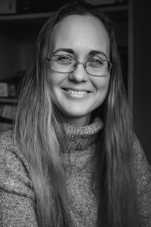
Tetiana
Geodesy and Land Management, V. Dokuchaev Kharkiv National Agrarian University of Ukraine
Tetiana joined PCA in 2022, continuing her already extensive experience in land survey, survey engineering and geodatabase management in both Ireland and Ukraine. She obtained her qualification in Geodesy and Land Management from the V. Dokuchaev Kharkiv National Agrarian University of Ukraine, specialising in land management and cadastre. She also has a degree in Philology. Tetiana is an experienced surveyor, with expertise in topographic survey, laser scanning, data processing and high-detail building survey. She is currently one of our lead laser scanning surveyors, and specialises in laser scanning and processing for both topographic and building surveys.
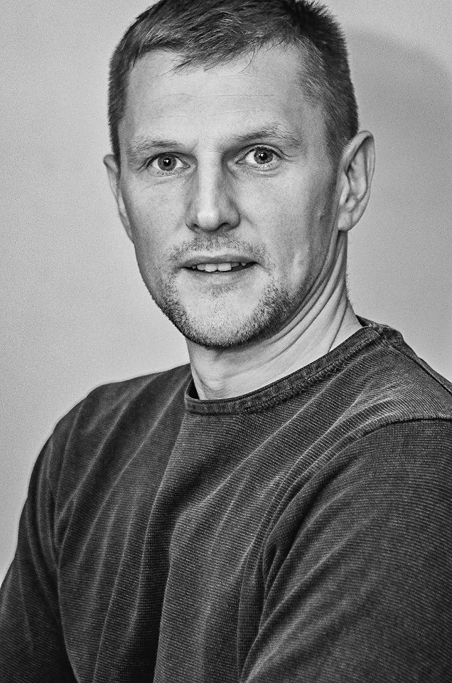
Nerijus
Technology of Photography, Vilnius College of Technology and Design (Lithuania).
Nerijus joined PCA as a technician in GNSS, Levelling and Topographic Surveys. With a substantial background and training in photography, Nerijus is our photographic specialist, with responsibility for architectural photography, photographic and photogrammetric surveys, orthorectification and 3D modelling. Nerijus is also a qualified UAS pilot, certified by the Irish Aviation Authority, and is an expert in aerial photogrammetry. He has worked on a number of high-profile projects as PCA’s drone and photographic specialist, such as Desmond Castle, Skellig Michael, Portumna Castle and the National Library of Ireland.

Nathalie
BEng (Hons.) in Civil Engineering, University Anhembi Morumbi; Advanced Cert. in Buildings Technician, ETE Carlos de Campos
Nathalie’s background is in Civil Engineering, with over 10 years’ experience in achieving high quality delivery in large scale residential and commercial projects as Design & Technical Engineer and Estimator. She joined PCA in 2021 as a CAD & Revit specialist, and has since become part of the project management team at PCA. With experience with both data capture on-site and processing/production in-office, Nathalie is a key member of the PCA Building Survey and Heritage & Conservation Survey Teams, with expertise in CAD-to-BIM workflows, 3D drafting and modelling.

Sam
BSc in Geographic Science, TU Dublin
Sam came to PCA initially via the Graduate Internship Program and joined the team full time in 2020. Sam became responsible for technology and development of new methodologies in PCA, in addition to achieving his drone pilot’s licence and IAA certification and working with PCA’s Aerial Survey Team. Sam currently works from Belgium and provides consultancy services to PCA, including assistance with drafting in CAD & SCC for topographic and building surveys, and advising on survey methodologies and equipment & software maintenance.
Eoin
BSc in Geographic Science, TU Dublin.
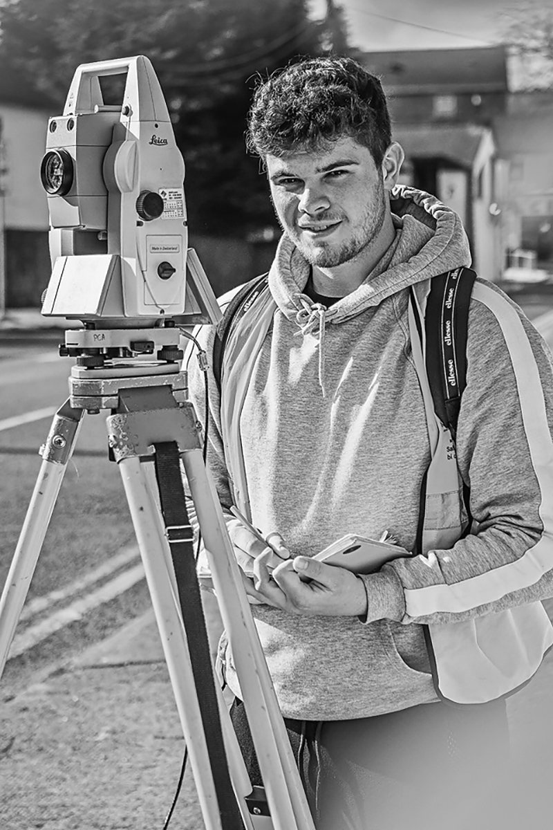
Eoin joined PCA as part of the Graduate internship program while studying for a degree in Geographic Science TU Dublin, which he obtained in 2022. He has since become an integral part of the survey team and regularly manages survey projects from initial data capture, through processing and production of deliverables for the client. Eoin also has expertise in railway surveys and the use of 3D point data to produce deliverables. Eoin is also a member of the PCA aerial survey team and a qualified UAS pilot, certified by the Irish Aviation Authority.
Antonina
PhD. in Engineering Sciences, National University Lviv Polytechnic
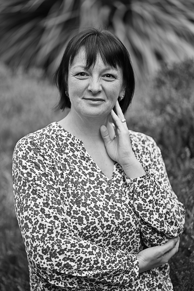
Antonina joined PCA in 2024. She holds a PhD in Engineering Sciences from National University Lviv Polytechnic, specialising in geodesy, photogrammetry and cartography. Antonina has more than 13 years’ experience as a lecturer. Currently her position is be a Geomatics Surveyor, with focus on control network planning & observation. She also has responsibility for capturing & processing data and drawing with point cloud data in SCC & AutoCAD. Antonina has developed and spearheaded PCA research programmes aimed at assessing the accuracy of different GNSS post-processing methods.
William
BSc in Geographic Science, TU Dublin.
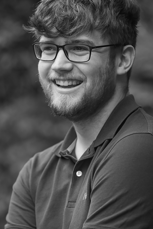
William graduated from TU Dublin in 2022 with a BSc. in Geographic Science. William joined PCA that same year as a survey assistant and has since proven himself to be a highly talented and efficient field surveyor, who regularly takes the lead role in on-site survey. William has travelled the length and breadth of the island of Ireland in the course of his survey work and, as one of the public faces of PCA on-site, has become skilled in managing client and third-party relationships over the course of a survey programme.
Petra
Historic of Art and Architecture & Postgraduate Diploma in Applied Building Repair and Conservation at Trinity College Dublin
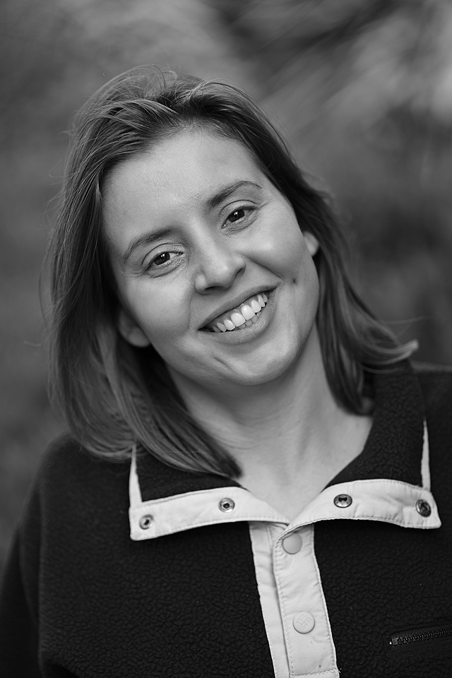
Petra holds a BSc in Ancient History and Archaeology, as well as History of Art and Architecture, along with a postgraduate diploma in Applied Building Repair and Conservation, all from Trinity College Dublin. With experience in archaeological excavations, GPS and photogrammetry, she later worked as Quality Engineer for a tier-one contractor on construction sites. In 2024, Petra joined PCA as a Surveyor and Revit technician, with special responsibility for market development driven by her interest in conservation and heritage. Her aim is to support PCA’s efforts in promoting sustainable practices and cultural heritage in the built environment.

Anto
BSc (Hons.) in Engineering Entrepreneurship, Dundalk Institute of Technology; Bachelor of Civil Engineering, St. Mary’s Polytechnic College, India
Anto holds a BSc (Hons) in Engineering Entrepreneurship (Level 8) from Dundalk Institute of Technology (2024), and Civil Engineering at St. Mary’s Polytechnic College, India (2020). He is experienced in Scan-to-BIM projects and developing 3D Building models with Revit and AutoCAD. Anto Joined PCA in 2024 as a CAD & Revit Technician, and has already worked on a number of large-scale laser scanning projects, including the Climate Action RePower Pathfinder Programme and the Adapt Schools programme.
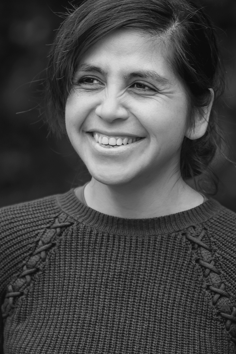
Cynthia
Engineering Surveyor, Universidad Tecnologica Metropolitana de Chile
Cynthia graduated as an Engineering Surveyor from Universidad Tecnologica Metropolitana de Chile in 2010, and has over 10 years’ experience in Mining, Topographic Surveys, LiDAR survey, Mobile Mapping, measured building survey, laser scanning, railway survey and control networks. Cynthia joined PCA in 2023 as a Geomatics Surveyor, sharing her extensive experience and knowledge regarding topographic survey, drafting, control networks & levelling, and geospatial data processing. She has led site works for a number of topographic survey projects in this time, including for the Santry River Greenway and Dodder Greenway projects in Dublin, as well as a number of large-scale projects throughout the country.
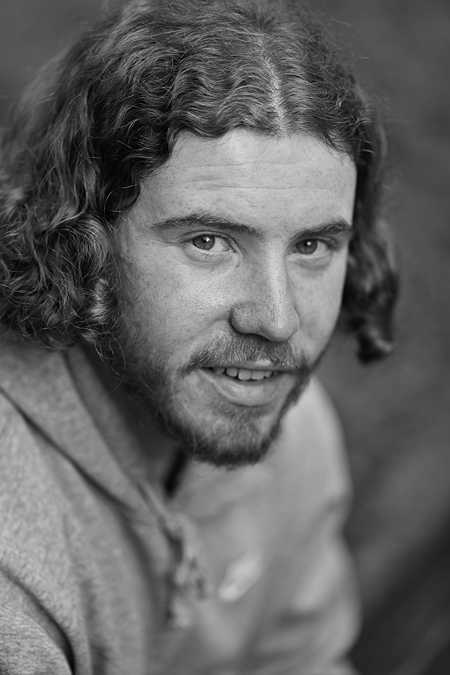
Cathal
Certificate in Civil Engineering, TU Dublin; Certificate in Architectural Technology, DunLaoghaire Institute of Further Education.
Cathal joined PCA in 2024 as a trainee surveyor, having gained experience in a variety of aspects of land and building survey through his third level education, Cathal has assisted on a number of survey projects for PCA, including the Dodder Greenway at Milltown. Since he started working with PCA, he has gained further experience with modern survey equipment and methodologies, involving total station, GNSS antenna and laser scanner.
If you would like to join
our team, please contact PCA manager@pca.ie
