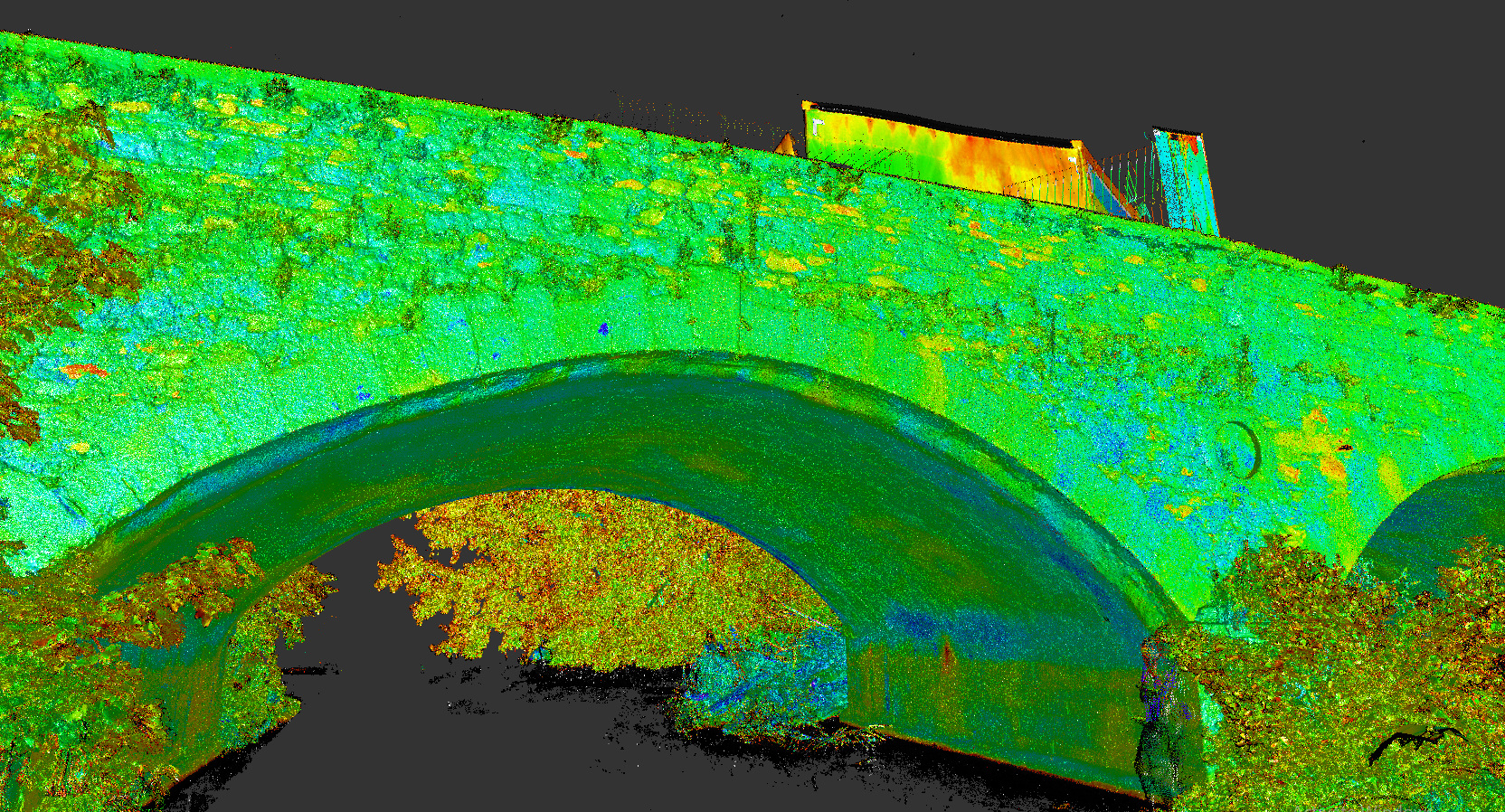
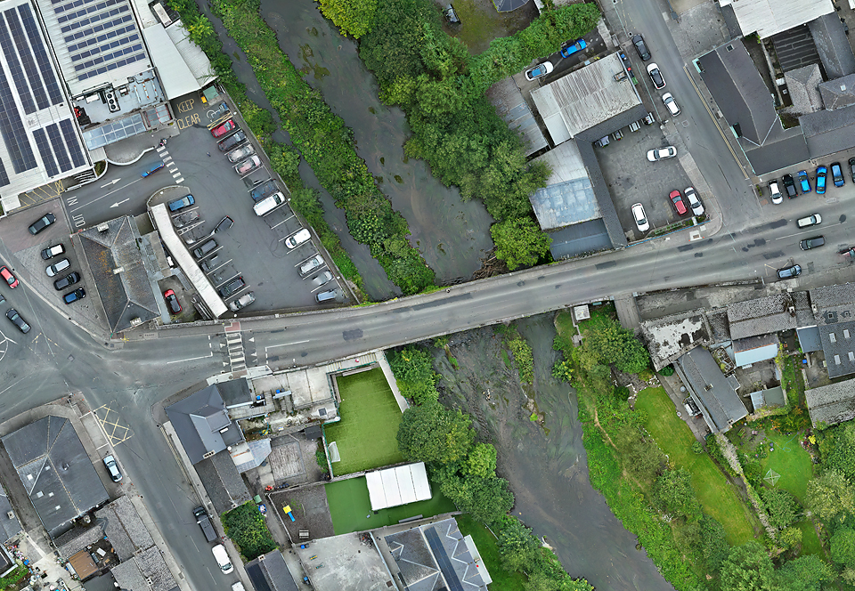
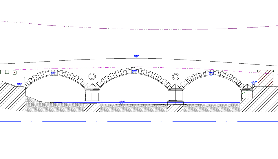
In August of 2025, PCA were commissioned to carry out survey works of the River Slaney and its bridge crossing and adjacent areas in Baltinglass, Co. Wicklow. This purpose of the survey was to create a topographic and hydrograpic baseline for the Baltinglass Active Travel programme manager by AtkinsRéalis on behalf of Wicklow Co. Co. Works included hydrographic survey along 400m of the R. Slaney, topographic survey of the road netowrk and adjacent spaces, and a detailed survey of Baltinglass Bridge, including elevations and cross-sections. Survey methods included GNSS, total station, UAS-based photogrammetry and terrestrial laser scanning. The latter was used to capture high-accuracy detail of the bridge elevations and soffits, enabling confidence in hydrographic modelling.