
PCA have successfully completed A Range of surveys on Skellig Michael for the Office of Public Works (OPW) including the main lighthouse in 2018, the Upper Lighthouse in 2019, The Landing Pier, Helipad, fog station, staff huts & dry toilet in 2020, The Monastery in 2021, The crash Decks in 2023, and the stone steps in 2025.
Due to the remote location of the island on Skellig Michael, this survey gave rise to a unique set of challenges in which the team called upon many years of experience to successfully complete.
Survey
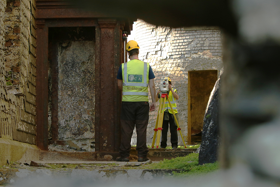
In order to reach Skellig Michael PCA surveyors along with their survey equipment would take a boat out onto the Island from Portmagee, Co. Kerry. In order to get the most out of the time on the island the team would stay overnight in the worker accommodation on Skellig Michael. It was a real privilege to get to be one of the few people to spend a night on this prestigious island.
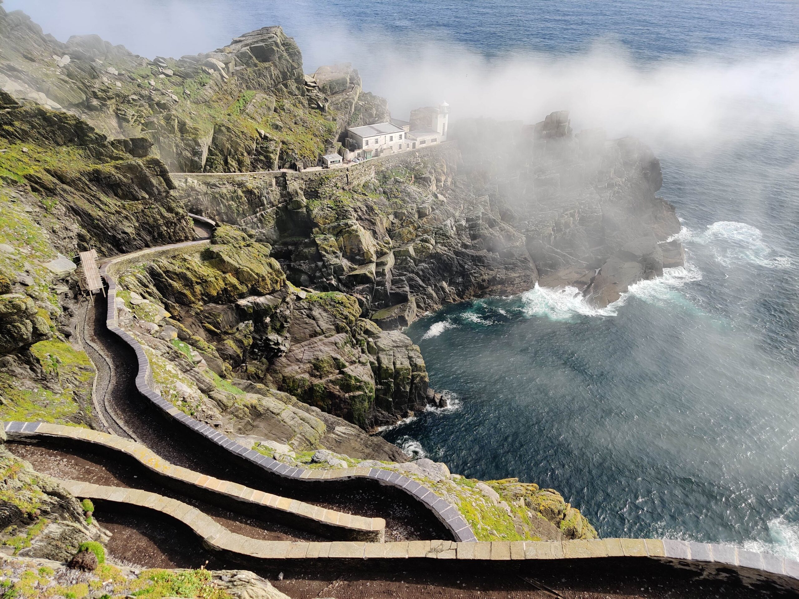
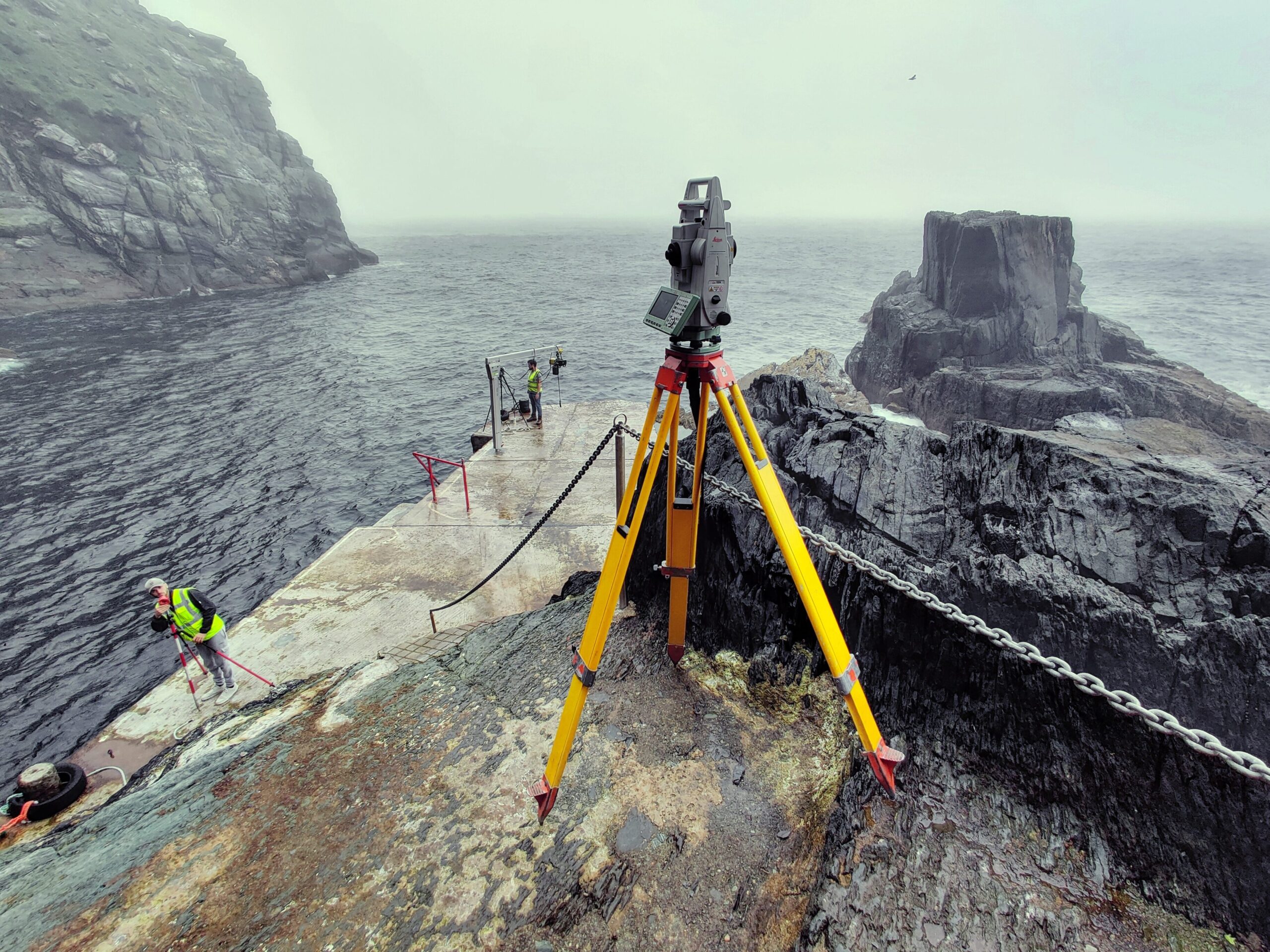
Establishing control on these projects presented some unique challenges as it was not possible to get GPS signal on the western side of the island. The control network had to be installed on the eastern side of the island. This control was critical for the successful completion of the topographic survey, drone survey and laser scanning. A full traverse up from the landing pier on the eastern side of the island, past the helipad, staff huts, and to the lighthouses was established.
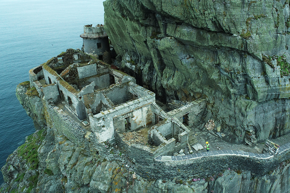
A unique challenge for operating the drone was the position of the lighthouses and ruins relative to the surrounding outcropping rock. The ruins are embedded into the rock face leading to hazards both above and below. A ‘pre survey’ flight was carried out as per PCA procedure to identify the area and height of the rocky outcrops. This gave the drone operator confidence that the survey could be carried out without any unwelcome surprises.
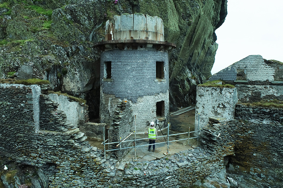
The GNSS, total station, laser scanning data and drone data were combined to provide a complete internal and external survey on each sequential survey. This combination of scan and drone data greatly assisted in fully recording the sites since much of the structures were not accessible by terrestrial methods. The outside of the lighthouse building at old lighthouse is built right up to the cliff edge for instance.
A major concern for the surveys, particularly the drone, was weather. Due to Skellig Michael’s very remote nature, 12km off the Kerry coast, it was expected that some poor weather conditions were inevitable. Over the years of working on the island PCA would closely monitor the weather conditions while and communicating with the OPW, often delaying and rescheduling the survey work to work around good weather windows.
In keeping with PCA’s commitment to provide the best results for clients, the most up to date technology was used during each part of the surveys. The Leica TS16 total station, Leica GS18, DJI Phantom 4 RTK and Leica RTC 360 laser scanner were all deployed to the island. This provided the most accurate and effective method of data collection possible.
Survey Data Output
- Drone point cloud and images
- Laser scan point cloud
- 3D Topographic line work and spot heights
Final Deliverables
- Floor plans
- Roof plans
- Wall top plans
- Elevations
- Sections
- Orthophotos
- Topographic maps